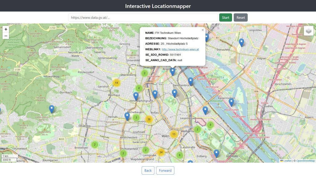
The Interactive Locationmapper is able to map Location data which are available in the format “WFS GetFeature (JSON)” which is GeoJSON with EPSG:4326.
Feel free to map some data using the Interactive Locationmapper via one of our deployed versions:
English Version:
https://opendata.technikum-wien.at/locationmapper/
German Version:
https://opendata.technikum-wien.at/locationmapper/de
The github-repo can be found here: https://github.com/OpenSourceInnovationHubs/InteractiveLocationmapper